Our Landscape Design plans are created using many pieces of information. After meeting on site with the client to discuss their ideas & style, we start by looking at your property survey. Next, we conduct a field survey to locate all existing trees, walls, boulders, and any other physical features not found on the property survey. The property is photographed to use as a design aid. We import all survey information into the computer to create an accurate basemap, and then the design process begins.
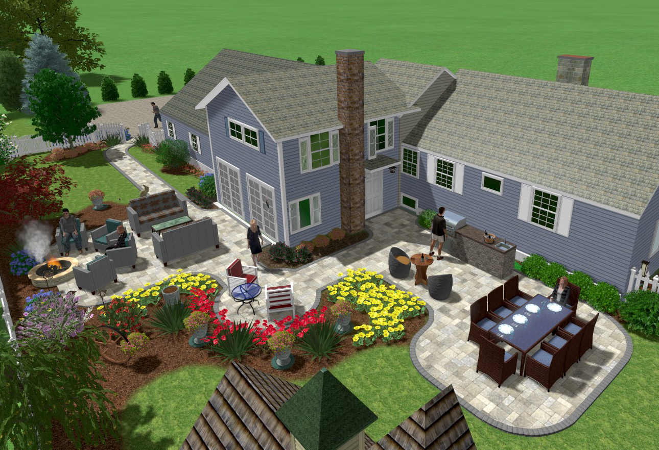
A 2-D plan is created, but a 3-D rendering of your home & property with our landscape design shown in full color is available. It’s a great design tool we use to provide our clients a more visual understanding of their project installed.